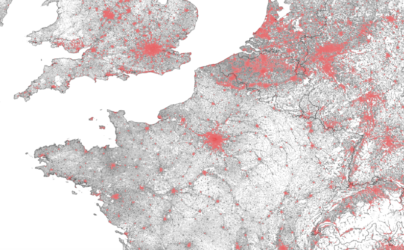
These days, it’s not often I get asked for my GIS/mapping skills – maybe it’s just because “making maps” aren’t as interesting now that there are so many tools at our disposal. But sometimes, just sometimes, there are some questions that a simple map with dots can’t answer. So when a request came up to … Continue reading How to calculate urban population by country using satellite data
Tag: mapping
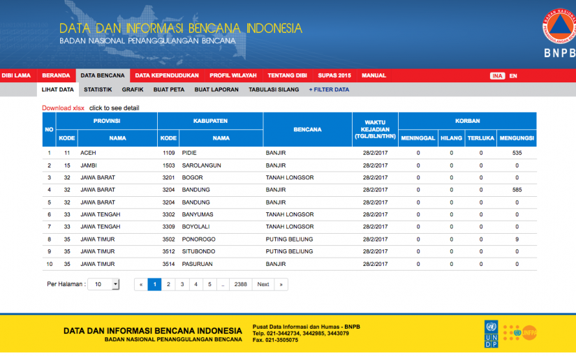
Mapping data from Indonesia’s disaster information portal
Maps are great for decision-making (ex. where’s the nearest restaurant, how to get from point A to B)… they’re even better when you know how use them to help analyze data and information (thank you geography degree). A lot of data visualization automation software exists now that can produce charts, graphs and even maps to … Continue reading Mapping data from Indonesia’s disaster information portal
Cartographer takes Kobe to school
Admittedly the title for this post would make for a great story, but unfortunately it’s only fantasy for now. Skill and talent may still have a large part to play in basketball, but Kirk Goldsberry thinks there’s more to it and that thinking like a cartographer (i.e. you know, those guys that makes maps) might … Continue reading Cartographer takes Kobe to school
To see or not to see?
I can’t believe it’s been almost a month since I last wrote in this blog. Time sure does fly, especially when we head into the holiday season with Christmas just around the corner. Maybe one of my new year’s resolutions should be to write more often… It seems friends and family, as well as some … Continue reading To see or not to see?


